
Travel Route Visualization for Better Trips
November 8, 2026
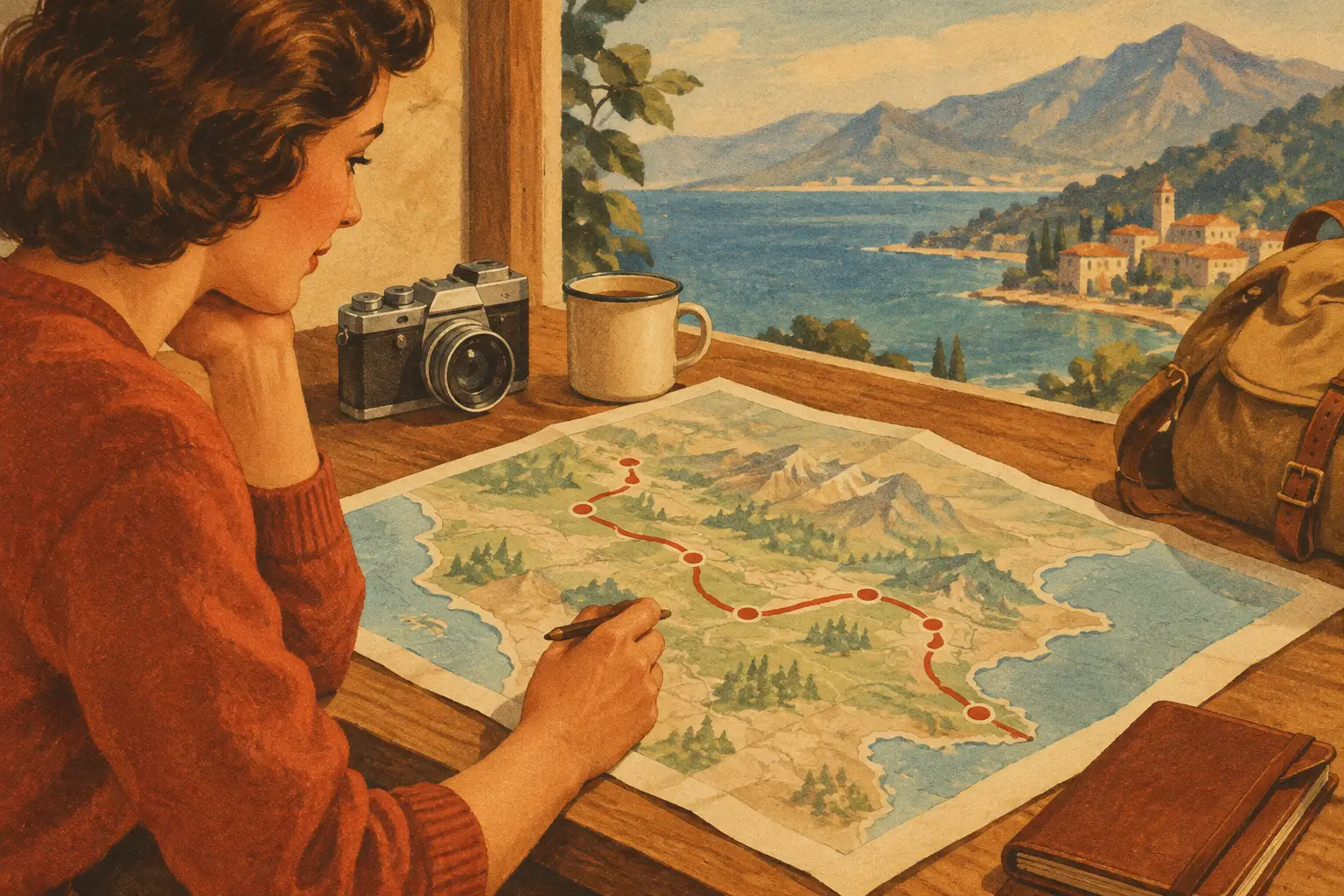
A dinner reservation across town, a museum with timed entry, a hotel check-in, and a saved coffee shop can all sound like a great day - until your group realizes they are arranged in the wrong order. Travel route visualization turns scattered plans into a map you can actually read, follow, and share. It replaces the familiar scramble between confirmation emails, saved posts, group chats, and map tabs with one visual view of where your trip is taking you.
For a weekend in Chicago, that might mean seeing your architecture cruise, lunch in River North, and a West Loop dinner lined up in a route that makes sense. For a road trip, it means knowing whether that scenic overlook is a quick stop or a two-hour detour. The difference is not just convenience. It is more time exploring, less time renegotiating the day from a sidewalk.
What travel route visualization really does
A route map is more than a line between Point A and Point B. Done well, it gives your itinerary geographic context. You can see where you are staying, which activities belong together, how far each stop is from the next, and where transportation fits into the day.
That context changes the way you plan. A list may tell you that you have brunch at 11 a.m. and a walking tour at 1 p.m. A map tells you whether those plans are a relaxed 10-minute walk apart or separated by traffic, a bridge, and a missed reservation waiting to happen.
For city breaks, visualization helps you build days around neighborhoods rather than zigzagging across town. For hiking and biking trips, it makes elevation, trailheads, parking, and turnaround points easier to understand. For multi-stop vacations, it puts flights, trains, rental cars, lodging, and activities into a single story of how the trip will move.
The goal is not to schedule every minute. It is to make smart decisions before the trip so you have more room for spontaneous ones during it.
Plan by place, then shape the route
The strongest itineraries usually start with the experiences people care about most. Add the concert, beach, food market, trail, hotel, and must-try restaurant first. Once those pins are visible together, patterns appear quickly: several stops may cluster in one neighborhood, while another is better saved for a different day.
Start with fixed plans
Build around commitments that cannot easily move, such as flight times, hotel check-in, ticketed activities, cruises, dinner reservations, or a train departure. These are the anchors of your day. Add them to the map with their timing, then look at the open spaces around them.
If you have a 7 p.m. reservation in Santa Monica, an afternoon hike in Griffith Park may still be possible, but the route visualization will make the trade-off visible. You might decide the views are worth the drive, or you might move the hike to a day when you are already closer. Either choice is better than discovering the issue after everyone is hungry.
Group flexible stops by area
Saved places are inspiration, not obligations. A visual route helps sort them into realistic clusters: breakfast spots near your hotel, galleries near your afternoon activity, or viewpoints along the drive to your next overnight stop.
This is especially useful when planning with social media saves. That photo-worthy bakery may be absolutely worth visiting. It just may not belong on the same morning as an attraction on the other side of the city. Keep a few nearby alternatives pinned so the group can choose based on energy, weather, and appetite.
Give travel time the respect it deserves
Routes can look short on a map and still take longer than expected. City traffic, parking, airport security, trail conditions, ferry schedules, and the time it takes to get six friends out the door all matter. Add breathing room around moments where being late carries a cost.
A 20-minute drive does not always mean leaving 20 minutes before a reservation. For a rental-car road trip, factor in fuel and parking. For a hike, include the walk from the lot to the trailhead. For a flight, plan the full trip from hotel door to gate, not just the ride to the airport.
Make the map useful for the whole group
The best route is the one everyone can understand. That sounds obvious, but group trips often break down when one person is carrying the itinerary in their notes app while everyone else is searching old messages for the hotel address.
Shared travel route visualization gives every traveler the same view of the plan. Your friend can see where to meet for dinner. Your partner can pull up the rental-car pickup location. A family member can check the day’s route without asking for another screenshot. It lowers the pressure on the designated planner and keeps practical details close to the places they belong.
At Plan WeGo, a shared itinerary can bring bookings, route stops, notes, and trip details together, so the map supports the plan instead of becoming another separate tool to manage. Use sharing permissions that fit your crew: some people may only need to view the route, while co-planners may want to add their favorite stops or update plans on the fly.
There is a social side to this, too. When everyone can see the route, people are more likely to contribute useful ideas. A friend may notice a favorite taco spot near the afternoon activity. Someone else may spot a beach that makes a perfect stop between two coastal towns. Good collaboration is not a flood of random links. It is putting ideas in context.
Route visualization for road trips, hikes, and bike rides
Route-based adventures need a more careful map than a typical city day. A road trip is not simply a collection of destinations. Fuel stops, daylight, road conditions, charging locations, food breaks, and overnight stays can shape whether the journey feels fun or rushed.
For a road trip, map your major legs first. Then add scenic stops that sit naturally along the way. Be honest about detours. A place can be spectacular and still be a poor fit for this particular route. Save it for another trip rather than cramming it into a day that is already too long.
For hikes, route visualization helps you separate the experience from the logistics. Pin the trailhead, parking area, visitor center, water refill point, and post-hike food option. Review distance and conditions before you go, and keep a backup plan in mind if weather changes. The prettiest route is not automatically the best choice for every skill level or season.
Bike routes require another layer of judgment. Elevation, road comfort, daylight, and access to repairs or water may matter more than the most direct path. A route map helps riders agree on the day’s pace and identify sensible rest points before the wheels are rolling.
Keep the route flexible once you arrive
A map should guide the trip, not boss it around. Travel days change. Rain moves in. A museum takes longer than expected. Someone finds a hidden gem and wants to stay for another round. When your itinerary is mapped visually, you can make adjustments without losing the bigger picture.
If an afternoon activity falls through, look at nearby saved stops instead of reopening every search tab. If you are ahead of schedule, check what is close to your next reservation. If the group splits for a few hours, the shared route makes it easier to regroup at a clear place and time.
It also helps to distinguish between essentials and possibilities. Your hotel, transportation, and paid reservations should be easy to spot. Restaurants, shops, viewpoints, and spontaneous photo stops can live as optional pins nearby. This lets you preserve the feeling of discovery without forgetting the plans that need a decision.
Turn the route into part of the memory
Once the trip is over, the route becomes more than logistics. It tells the story of where you went: the coast road you drove at sunset, the neighborhood where you found your favorite meal, the trail that earned every view. Add photos, notes, and small moments while they are fresh, then share the trip with the people who were there or friends planning their own version.
That is the real value of seeing a trip on a map. You are not just connecting stops. You are creating enough clarity to be present at each one - and leaving room for the unexpected places that become the stories everyone remembers.