
Map Based Planner Versus GPS for Better Trips
November 9, 2026
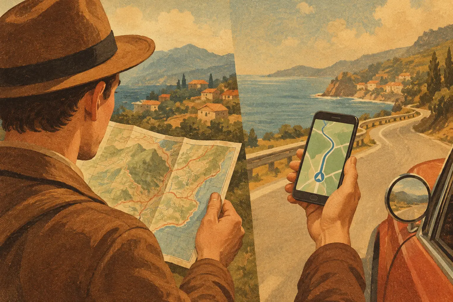
A map based planner versus GPS comparison matters most when your group chat is full of saved reels, booking confirmations, and “we should go here” messages. GPS can get you to the next address. But a great trip requires more than a blue line on a screen: it requires seeing how every stay, reservation, viewpoint, and detour fits together before you leave.
The good news is that this is not really an either-or decision. A map-based planner and GPS navigation solve different travel problems. Use them together, and your route starts feeling less like a scramble between apps and more like a trip built around the moments you actually want.
Map Based Planner Versus GPS: The Real Difference
GPS is built for the immediate question: “How do I get from where I am to where I need to be?” It uses your current location, traffic conditions, road closures, and travel preferences to offer turn-by-turn directions. When you are leaving the airport, trying to make a dinner reservation, or looking for a trailhead with fading daylight, that live guidance is exactly what you need.
A map-based planner starts with a bigger question: “What does this whole trip look like?” It lets you place your hotel, restaurants, activities, transportation, and saved spots onto one visual trip map. Instead of treating each stop as an isolated address, you can see whether your brunch pick is near the museum, whether the scenic overlook belongs on the drive day, and whether the rental car is doing more work than it needs to.
Think of GPS as your real-time co-pilot. A map-based planner is the friend who looked at the itinerary, noticed you were crossing town three times in one afternoon, and fixed it before anyone had to say, “Wait, why are we back here?”
What GPS Does Best on the Go
GPS earns its place when reality changes. Traffic backs up on the freeway, a parking lot is full, a road is closed after a storm, or your group decides to stay for one more round of coffee. Live navigation can reroute you quickly and calculate arrival times based on what is happening now, not what looked reasonable when you planned the trip last week.
It is also better for the final mile. A map-based itinerary can tell you that a beach is part of your coastal route, but GPS helps you find the right entrance, follow the winding access road, and avoid missing the turn. The same goes for a hotel in a busy downtown area, a restaurant tucked inside a market, or a trailhead with limited signage.
For road trips, hikes, bike rides, and multi-stop days, GPS is especially valuable once you are moving. You do not want to manually reconstruct your route from screenshots when the weather shifts or the sun is going down. Let navigation manage the moving parts.
That said, GPS has a blind spot: it is designed to optimize a route, not design a meaningful day. The fastest route is not always the route with the waterfall, the local bakery, the photo stop, or the friend’s must-try taco spot.
What a Map-Based Planner Does Better Before You Go
A map-based planner gives shape to inspiration. When you save places visually, patterns become obvious fast. Maybe your favorite hotel is close to the train station but far from every neighborhood you want to explore. Maybe three of your saved restaurants are within a few blocks of one another, creating an easy food crawl. Maybe the “quick stop” your friend suggested adds two hours of backtracking.
That visual context is hard to get from a list, browser tabs, or scattered pins. A map lets you make smarter trade-offs before reservations are locked in. You can group nearby experiences by day, organize your route in a logical order, and leave room for wandering without losing the plan.
This matters even more on trips with multiple travelers. One person may care about an Insta-worthy sunrise, another wants the best coffee, and someone else is watching the budget and driving time. When everyone can see the stops on a shared map, the conversation gets more concrete. You are no longer debating vague ideas. You are deciding whether a detour is worth it.
A map-based planner also keeps the details behind each place connected to the plan. The address alone is not enough when you need the reservation time, confirmation number, hotel check-in notes, transportation details, or a reminder to book timed entry. Keeping those trip essentials alongside the map reduces the pre-trip hunt through emails, notes, and screenshots.
The Best Travel Workflow Uses Both
The strongest approach is simple: plan with the map, then navigate with GPS. Build your trip around locations first, not a rigid minute-by-minute schedule. Add the places you have booked, the ideas you are considering, and the hidden gems worth a detour. Then use the map to decide what belongs together.
For a city break, that might mean creating one day around a walkable neighborhood, another around museums and dinner reservations, and a flexible afternoon for anything you discover along the way. For a road trip, it might mean plotting overnight stays, fuel stops, viewpoints, and activities so you can spot unrealistic drive days before they become everyone’s problem.
Once the trip begins, open GPS for each leg. It handles traffic, arrival estimates, and rerouting in the moment. Your planner stays useful in the background because it shows the full context: what is next, what is nearby, and what can move if plans change.
This division of labor also prevents a common travel mistake: mistaking a saved pin for a plan. Saving 40 places is fun. Deciding which 6 work together on Tuesday afternoon is what turns saved inspiration into a trip you can enjoy.
When One Tool May Be Enough
For a straightforward weekend with one hotel and a few flexible plans, GPS may be all you need. If you are visiting family, following a familiar routine, or making a single drive to a resort, extensive visual planning can be unnecessary. Keep it light and let live directions do their job.
A map-based planner becomes much more valuable when the trip has moving parts: multiple cities, several hotel changes, timed bookings, a group with competing wish lists, or a route that includes drives, hikes, or bike rides. The more stops you add, the more expensive poor geography becomes. You lose time, spend more on transportation, and arrive tired at the experiences you were excited about.
It also depends on your travel style. Spontaneous travelers do not need a packed schedule, but they still benefit from seeing what is close by. Detail-oriented planners do not need to control every minute, but they benefit from leaving space between mapped priorities. The goal is not to make travel feel overplanned. It is to make the plan flexible enough to support a great day.
Make Your Map Work for the Whole Crew
If you are coordinating a couples trip, a family vacation, or a friends getaway, start with shared visibility. Add the non-negotiables first: flights, lodging, tickets, and reservations. Then layer in the places people are excited about. Seeing them on one map makes it easier to build a route that feels fair, practical, and fun.
Give each day a loose geographic focus rather than bouncing between neighborhoods just because each stop looked good on its own. Keep a few nearby backup options for meals or weather changes. And do not forget the logistics that shape the mood of the day: parking, transit, check-in windows, drive time, and the distance between a late dinner and an early activity.
Plan WeGo brings those pieces together by pairing visual trip mapping with itinerary details, shared planning, and the ability to preserve the moments that made the trip yours. That means less time translating a messy chat into a route and more time being present when you get there.
Your GPS can guide the next turn. Let your map show you why that turn belongs in the story of the trip.