
7 Best Tools for Bike Routes and Better Trips
November 7, 2026
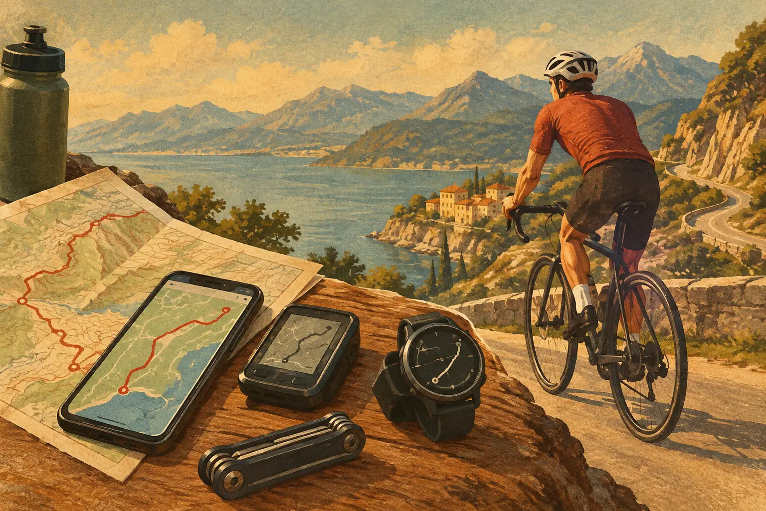
A great bike day can fall apart over one small detail: the trail that ends at a closed gate, the coffee stop that is not actually open, or the route that looked flat until your legs meet its final climb. The best tools for bike routes do more than draw a blue line on a map. They help you choose the right surface, understand the effort, adjust for real conditions, and keep the whole crew moving in the same direction.
Whether you are planning a waterfront cruise, a full-day gravel loop, or a bike-friendly weekend away, use a small set of tools that each solve a real problem. The goal is not to collect more apps. It is to turn route research into a ride that feels easy to follow and even easier to enjoy.
What makes a bike route tool worth using?
The right tool depends on how and where you ride. A city rider needs bike lanes, transit connections, and safe intersections. A road cyclist may care most about elevation, shoulder width, and reliable turn-by-turn directions. Mountain bikers and gravel riders need current trail status, surface details, and confidence that a route is open to bikes.
Before choosing an app, check whether it answers four practical questions: Can it build routes for your type of bike? Does it work when service drops? Can you see distance, elevation, and surface before committing? And can you share a clear plan with the people riding with you?
No single platform wins every category. That is why a smart bike trip setup combines route discovery, navigation, conditions, and trip coordination.
1. Google Maps for everyday bike navigation
Google Maps is often the fastest place to start when you are riding in a city or connecting several stops. Its cycling layer can reveal bike paths, lanes, and more bike-friendly streets, while local business listings help you find a bakery, bike shop, restrooms, or a post-ride patio without switching your whole plan around.
It is especially useful for casual rides and travel days, when the route is part transportation and part sightseeing. Save a few possible stops before you leave, then use the map to decide what fits your pace.
The trade-off is that cycling directions can miss the nuance of a serious ride. It may not tell you how rough a path feels, whether a busy road is pleasant, or whether a shortcut includes a steep staircase. Treat it as an excellent urban navigator, then confirm longer or more specialized routes elsewhere.
2. Ride with GPS for detailed road and gravel planning
For riders who like to know what is ahead before the first pedal stroke, Ride with GPS is a strong route-building choice. It is built around detailed planning, with elevation profiles, cue sheets, route editing, and navigation features that make sense for organized rides and long days in the saddle.
This is where you can inspect a 40-mile loop rather than merely accept it. Look at the climbing distribution, identify refuel stops, and see whether the final miles ask more of your group than the route description suggests. If you are traveling with friends who have different fitness levels, that visibility can prevent an awkward mid-ride surprise.
It is more technical than a basic map app, which is a benefit for route nerds and possibly overkill for a leisurely beach ride. Use it when route precision matters.
3. Komoot for scenic adventures and mixed surfaces
Komoot shines when the ride is about the experience as much as the mileage. It helps riders explore paved paths, gravel roads, forest tracks, and long-distance touring routes, with useful surface and elevation context along the way.
For a vacation ride, that matters. A route can be technically shorter but much less fun if it runs beside fast traffic instead of following a quiet greenway. Komoot makes it easier to compare options based on scenery and terrain, not just distance.
Its community highlights can also point you toward viewpoints, memorable landmarks, and stops worth photographing. Still, community information varies by region. Read recent comments and check the route’s details rather than assuming an older recommendation reflects current conditions.
4. Strava for local route inspiration
When you arrive somewhere new and want to know where people actually ride, Strava can be a helpful source of local intelligence. Routes and activity data can reveal the popular climbs, car-light roads, favored waterfront paths, and classic loops that might not surface in a standard search.
Think of it as inspiration, not a final safety check. A frequently ridden segment may be popular because it is challenging, convenient, or simply the only connection between two good roads. It is not automatically suitable for every rider or every time of day.
Strava is particularly helpful for finding the character of a cycling destination. Are riders showing up for rolling farm roads, punchy hills, urban laps, or gravel? That pattern helps you pack the right bike and set expectations before you go.
5. Trailforks for mountain bike trail status
Mountain bike routes need a different level of detail. Trailforks is designed for that world, with trail maps, difficulty ratings, user reports, and status updates that can save you from arriving at a closed or muddy network.
Check trail conditions close to departure, especially after rain, wind, or seasonal maintenance. A trail can be physically open but still be a poor choice if riding it damages the surface. Respecting local closures keeps access strong for everyone.
Trail ratings are useful, but they are not universal. A blue trail in one region can feel very different from a blue trail somewhere else. Review recent rider notes, look at the elevation, and choose a first lap that gives your group room to warm up.
6. Weather and air-quality apps for the reality check
Weather is not a background detail on a bike ride. It determines clothing, hydration, daylight decisions, and sometimes whether the ride should wait. A reliable weather app with hourly forecasts is essential for wind, heat, storms, and temperature swings.
For longer rides, pay special attention to wind direction and timing. A headwind on the way out can be frustrating, but a surprise headwind for the final 15 miles can change the entire day. In wildfire-prone or high-traffic areas, check air quality too. A gorgeous route is not worth forcing through unhealthy conditions.
Use these tools as a go or no-go checkpoint, not just a packing prompt. Being flexible is part of riding smart.
7. Plan WeGo for keeping the ride inside the trip
A bike route rarely exists on its own during a getaway. There may be a hotel check-in, a rental pickup, lunch reservation, train connection, trailhead parking plan, and a friend arriving later. That is where keeping route details alongside the rest of the itinerary makes the day feel far less scattered.
Plan WeGo can bring your mapped ride, saved stops, reservations, and group plans into one shareable trip view. Instead of dropping screenshots into a group chat and hoping everyone finds the latest version, your crew can see the route context, meeting point, and next stop in the same place.
It also makes room for the good stuff after the ride: save the overlook, favorite taco stand, or photo-worthy detour as part of the trip story. Logistics stay clear without flattening the adventure into a checklist.
Build a route workflow that your group will actually use
Start by choosing the ride’s purpose. Are you getting from one neighborhood to another, training for distance, seeking singletrack, or building a full day around a scenic route? Pick the route tool that fits that purpose, then check conditions and build in sensible stops.
For group rides, agree on more than the destination. Share the start time, expected distance, terrain, pace, bailout options, and the point where people should regroup if separated. Download maps before leaving service, bring a backup battery for longer days, and keep one person responsible for confirming any route change.
Most importantly, leave room for a detour. The best bike routes are not always the fastest line between two pins. They are the ones that let you stop when a view appears, reroute when the weather turns, and arrive with enough energy to enjoy whatever comes next.